Maps
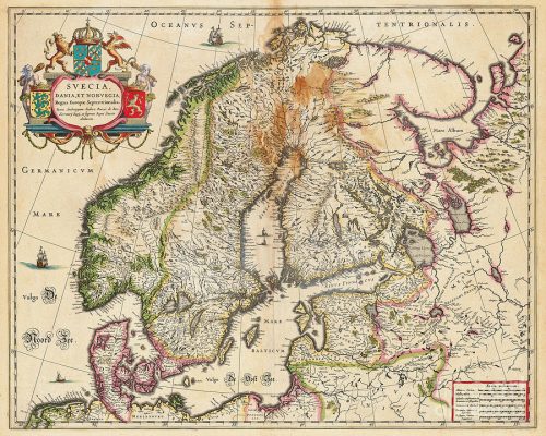
For me, maps has always been exciting. Especially old maps. They can tell us about what was importent when they were drawn.
(Importent for who? A question you always can raise.)
Maps from different times givs us a picture over how our community has been changed, for examle roads and places. The maps you find here I have bought and scanned, in relative high resolution.
If you click on them, a larger pickture will be opened in which you can zoom. Zoom in and out with +/-buttoms up to the left in the maps window, or with the mouses scroll wheel. Move around in the map by drag it. (The fullscreen map is, just now, not working, Jan 2018.) You can return to the Libraries Map Section by clicking at “Click HERE ….“, over or below the map window.

The map to the right and the maps below I have bought because my grandmothers, Gerda Törner, ancestors lived in this areas.


